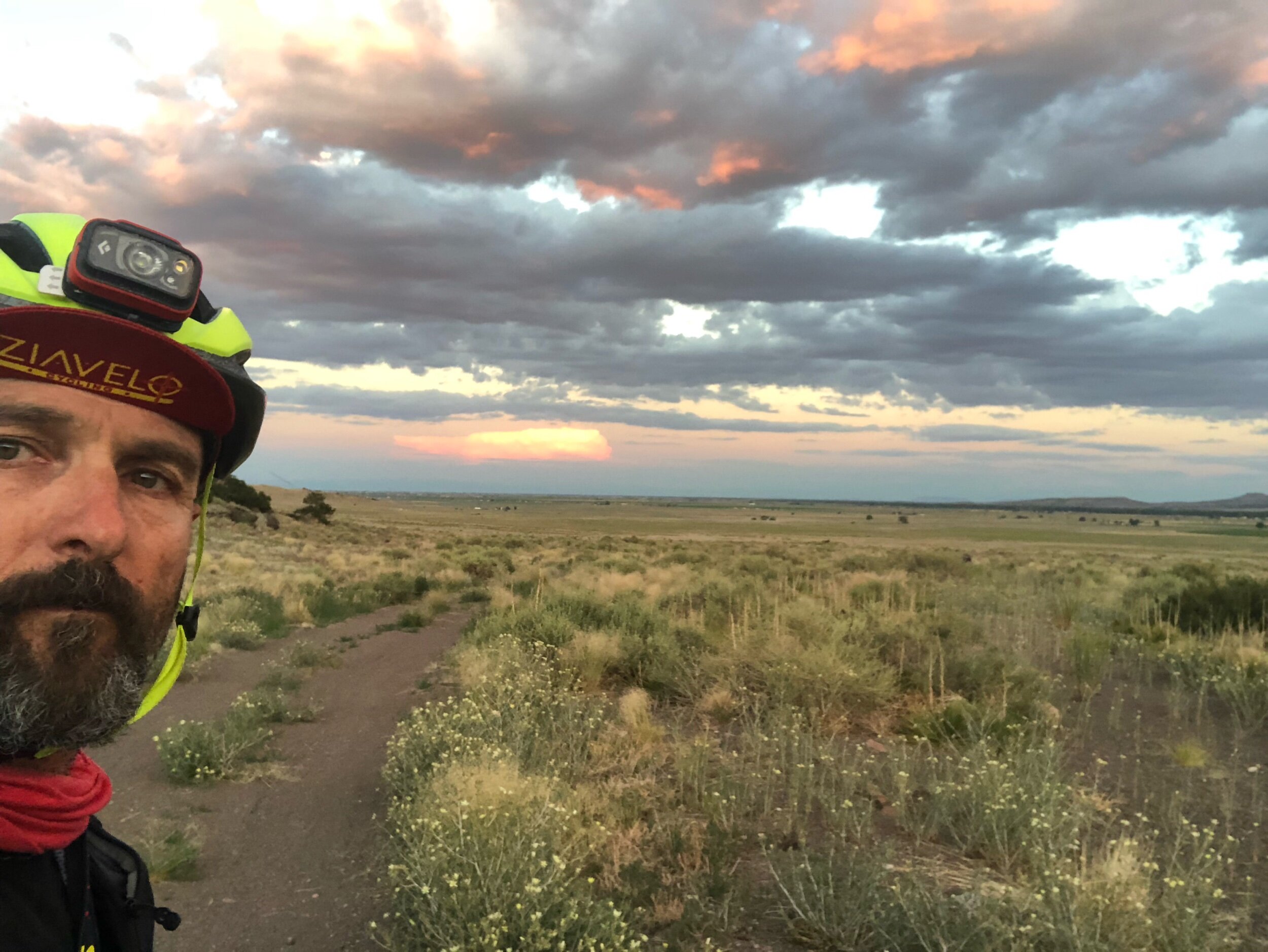
Gettin’ high in Colorado!
We knew today would be a challenge!
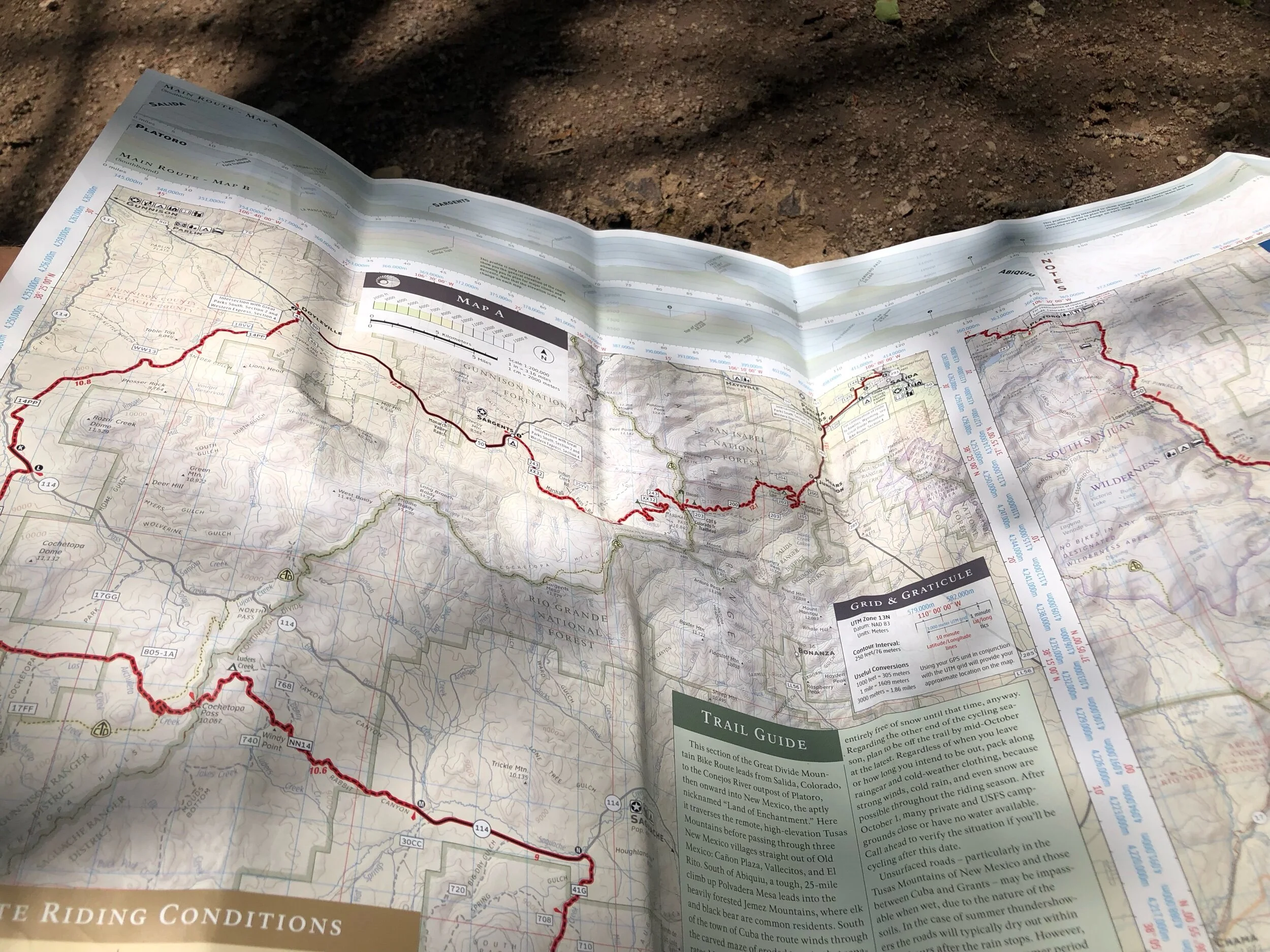
Looking at the digital and paper maps of the GDMBR, it’s pretty obvious that today, and the next several days, is going to be a climbers paradise. A rider with a 60 pound bike who has already ridden over 1500 miles in the last 20 days, maybe not so much so.
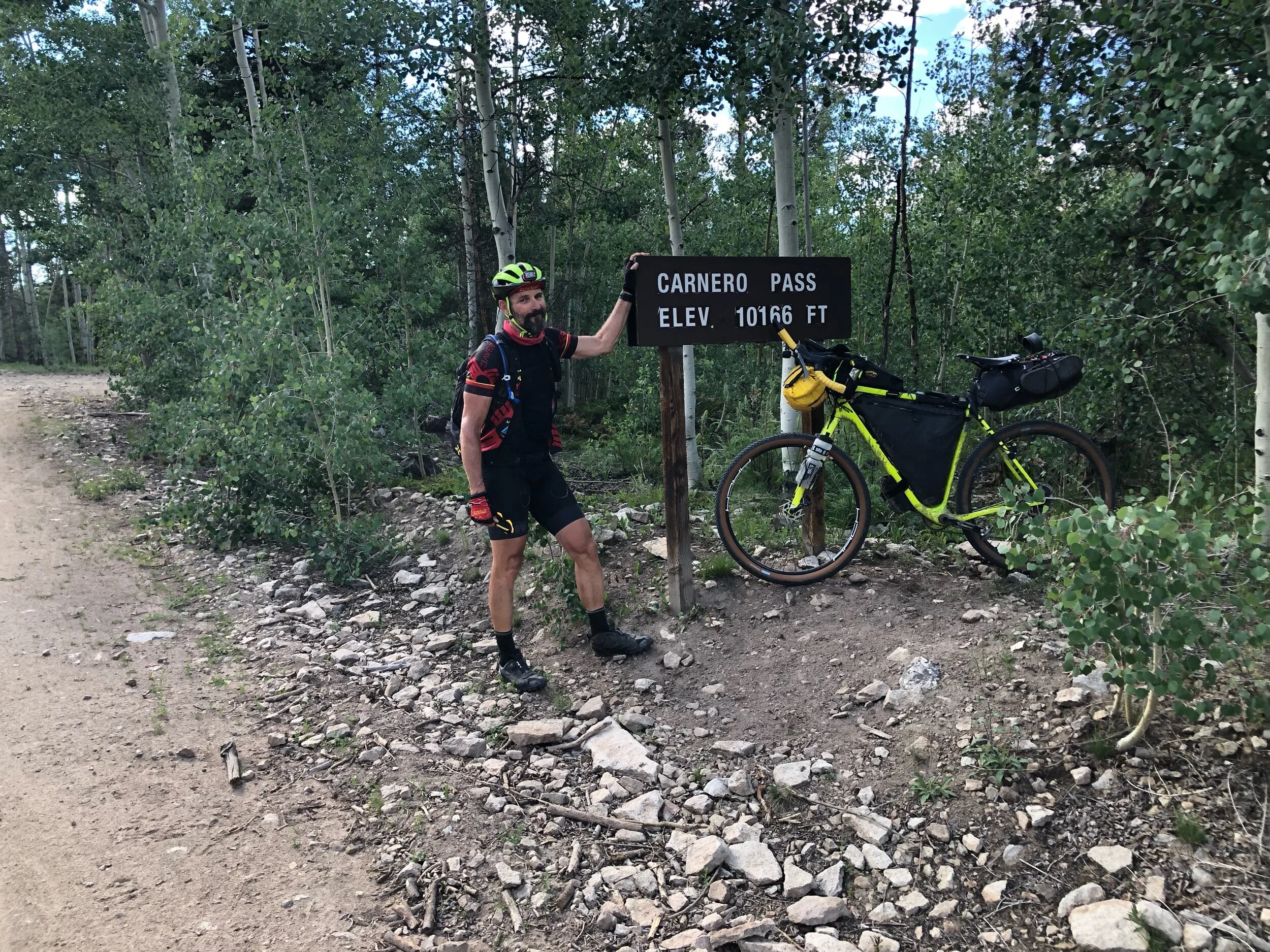
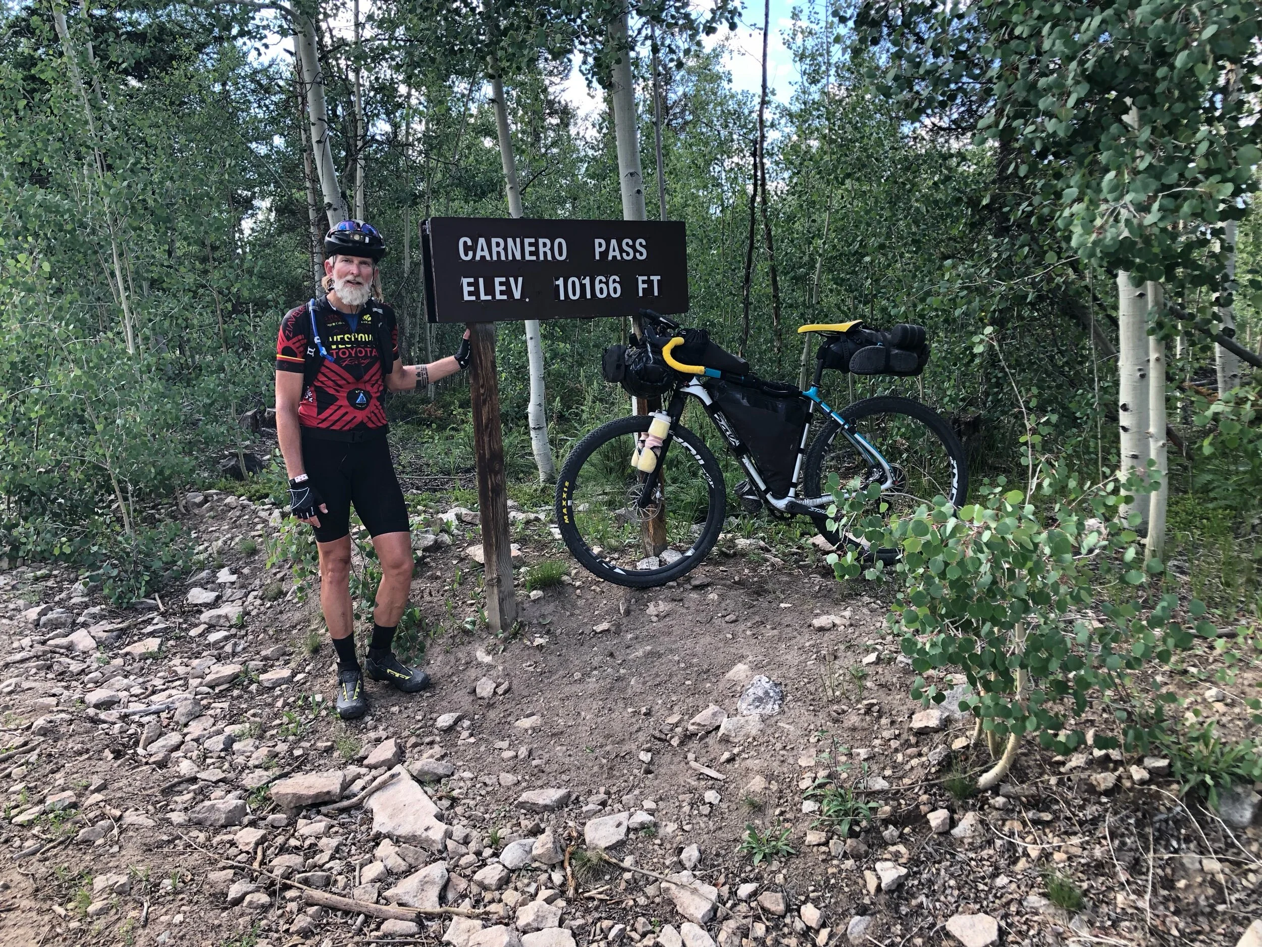
We left Sargents. CO knowing that there were at least two major passes in the offing today: Cochetopa Pass at 10,067’ and Carnero Pass at 10,166’. Both of these summits lay on our path to our destination for the evening, Del Norte Colorado.
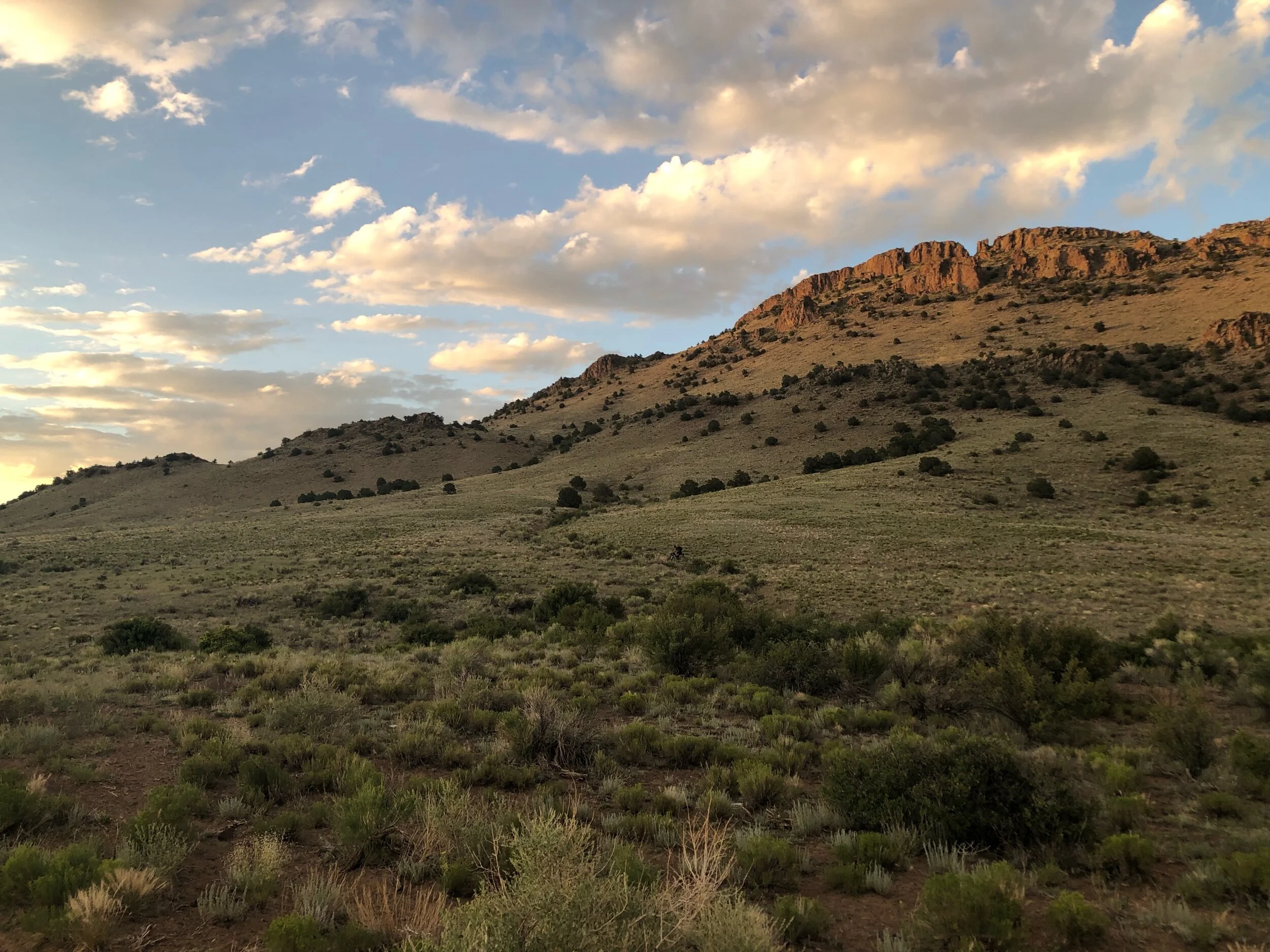
We rolled out of Sargents after a quick rise in the morning to bluebird skies and little to no pressure differentials. The first several miles were downhill and on pavement as we rolled west on US 50 towards Gunnison. It was an area I’ve been in many times on my backpacking trips to Colorado, and as a result, the feeling of familiarity was comforting and assuring as I knew the topography and features that were in store for us.
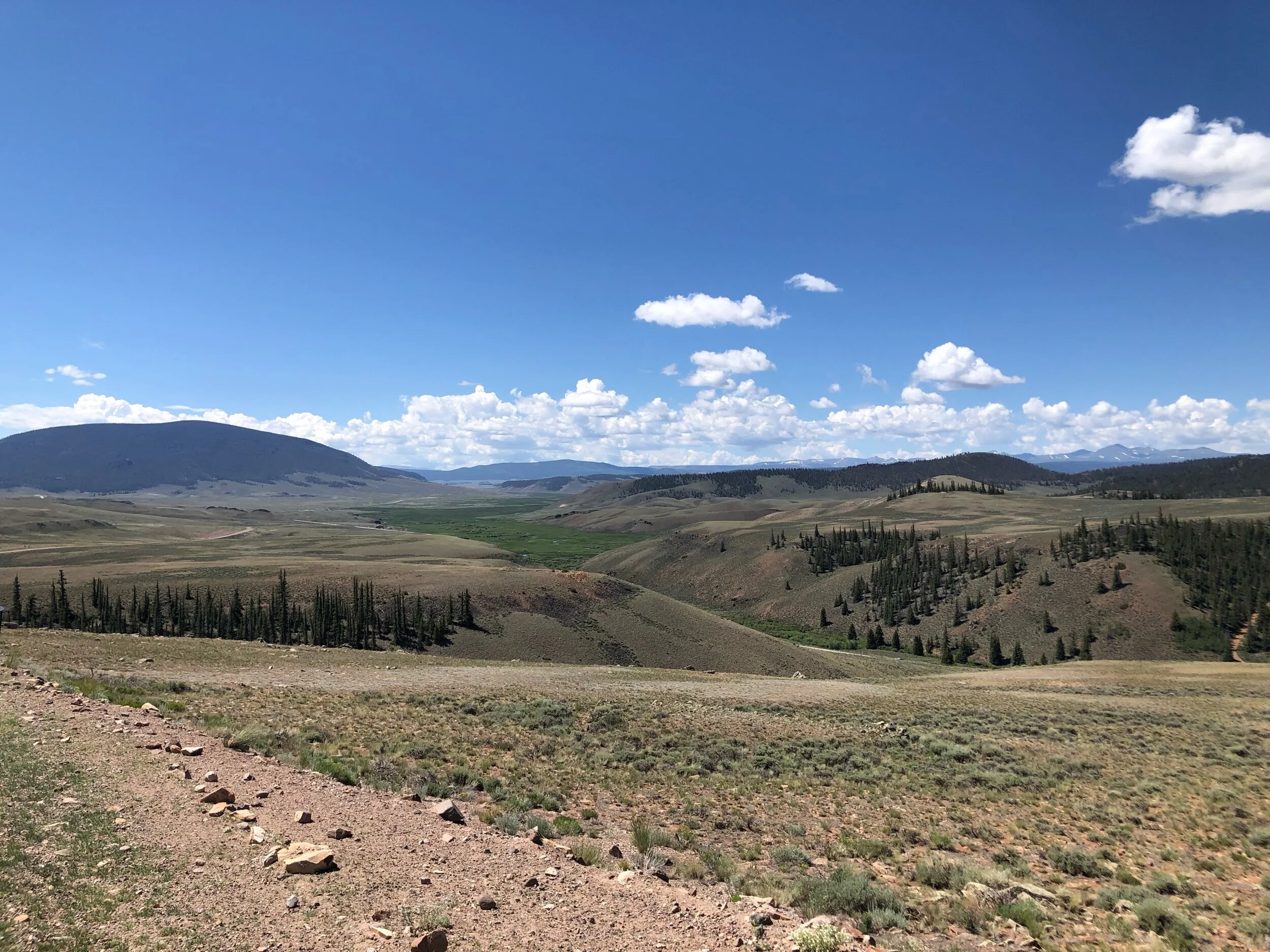
After about 13 miles we turned south onto a Colorado dirt road and started the 33 miles towards the top of Cochetopa Pass. The miles were flying by, with great roads and a developing tail pressure differential. With just enough slope (3-5%) to make it interesting, the climb was never arduous and provided a bit of a reminder of the fitness we had amassed over the past 3 weeks. We summited the pass and were soon enjoying a lunch break as we sat in the shadows of an aspen and pine lined dirt road.
One of the concerns today was the notable absence of either food or water on the route. As this was expected to be about a 110 mile day, that could turn out to be a major concern as we pushed towards Del Norte.
SIDENOTE: An interesting feature in the central and southern part of Colorado is the way in which Spanish town and feature names have their pronunciation changed. In this instance Del Norte. Instead of the Spanish pronunciation of Del Nor-te, EVERYBODY, including the Spanish speaker in the area, pronounce it Del, NORT. It is REALLY difficult to get used to and something I couldn’t so myslef. Other towns name such as Buena Vista and Pueblo have similar issues. Strange. Now, back to our story…
As we descended down Coechetopa Pass and headed for our next climb of Carnero Pass, our spirits were high. The 30 or so miles to Carnero would however prove much different that the smooth and pressure differential fuled fun that our previous pass provided.
Carnero Pass was quite a bit steeper, pitchy (Dawg!), and rocky. The climb was a far cry from the almost pure enjoyment of our first climb of the day. FINALLY, we reached the summit. After a few quick pictures and some snacks, we were on our way down towards La Garita, CO, and then hopefully on to Del Norte. The descent was neither fast, nor that much fun. Rocks were the fare for the day as we dropped down adnfinally hit a small 3-4 mile paved segment that would take us to a turn-off to La Garita.
Though La Garita was off route, were were almost completely out of water and food, and we decided that the 2 mile ride to the small convenience store in the town was not only warrented, it was necessary. Now in the high plains of Colorado, in the same basin that contains the city of Alamosa, the roads were flat and in the grasslands. It wasn’t long before we rolled up to the convenience store and…found it closed. Great.
After a bit of conversation (containing no doubt some colorful language) we turned right back around and headed from where we had come. Back to the intersection with the road that would take us to Del Norte.
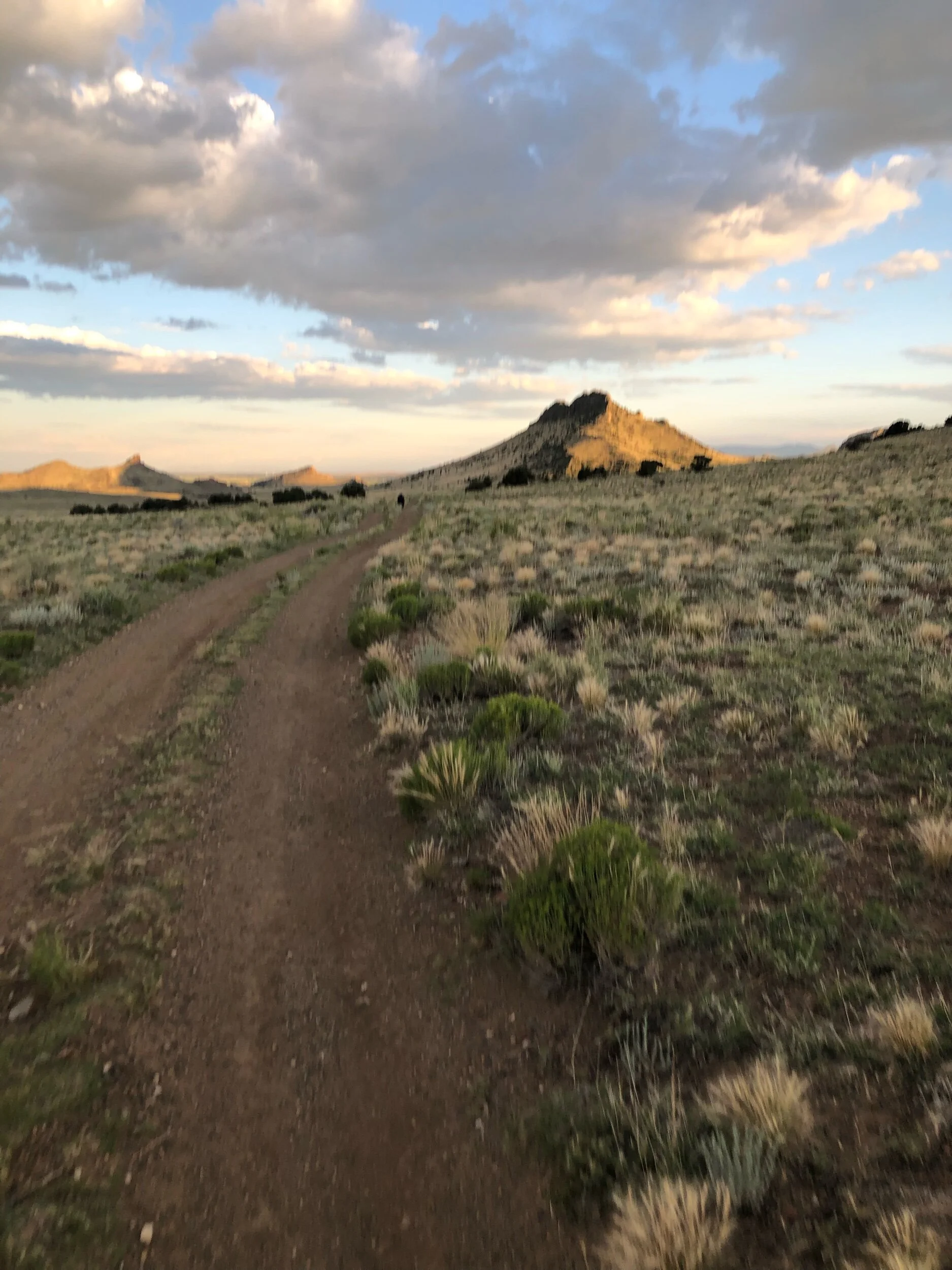
Not long after rolling past the intersection, the roads turned to dirt and although a bit sandy and washboarded, at least we were on the final leg to Del Norte. Or not. What we didn’t realize was that we would soon take a hard right hand turn of this road, one that led DIRECTLY to Del Norte, to take a detour into the foothills above our destination and towards several rock formations including Natural Arch. Unfortunately, our route turned about 1/2 mile short of the arch, and we really didn’t want to ride any further than necessary.
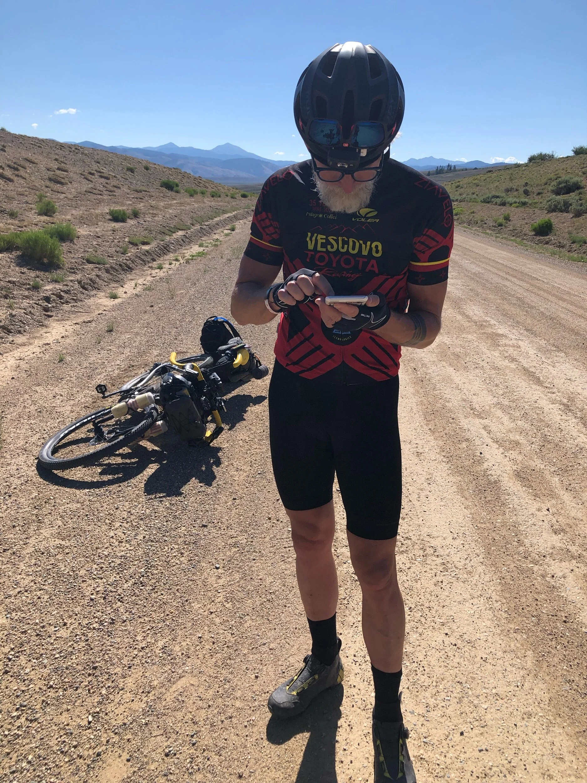
By this point I was running very low on water and Ray was completely out.
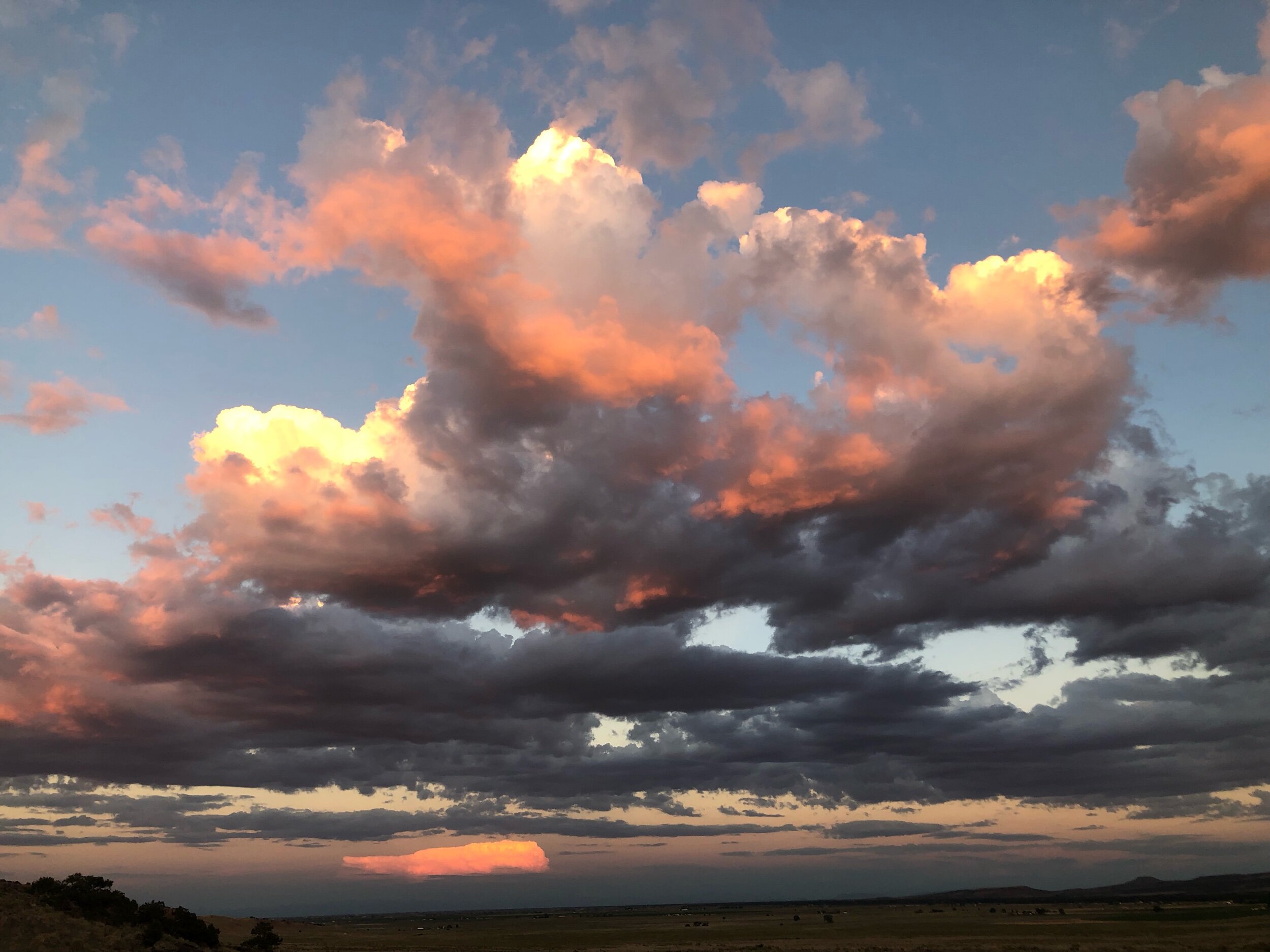
The unnecessary detour we had been given was rocky, uphill, and dry as the setting sun was both welcome, and worrisome.
The vague and hard to follow second half of the route we had been placed on took us high above Del Norte, and down, not really a road, but a sandy arroyo. Now we ride sand all the time, but after 100 miiles, having no water, in diminishing light, and exhausted, it was not even close to a fun nor enjoyable ride.
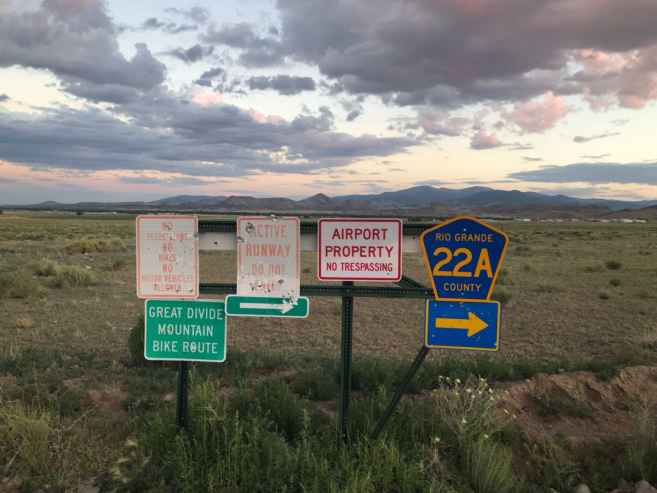
We finally exited the arroyo onto a CO county road. While the road was not bad, the mosquitos were! The road itslef consisted of a right hand turn, followed by three lefts and another right, each leg about 2 miles long. We were actually being routed in a square around the Del Norte Municipal and County Airport. Strangely, it had multiple signs indicating the “GDMBR Route”. I believe this was done as a way of ensuring riders didn’t “inadvertantly” ride straight across and find themselves on an active runway!
Eventually we rolled into Del Norte, which was now dark and quiet.
Not knowing where we would spend the night, and seeing that is was already about 9PM, we recalled hearing about a city park and an RV park where we might be able to camp. We eventually found the dark unpaved street that would take us to the RV park and started down the road, passing the city park on our way.
We rolled into the PACKED RV park and immediately saw a bunch of tents set up in a grassy area by the now closed park office. The tents belonged to several of our fellow TD racers. We knew almost everyone there! The other familiar faces (kind of) in the park were MOSQUITOS!! The park being right on the Rio Grande river was loaded with the dang things! We hastily set up our tents and threw our bags in.
Our only goal now was to go find food and water.
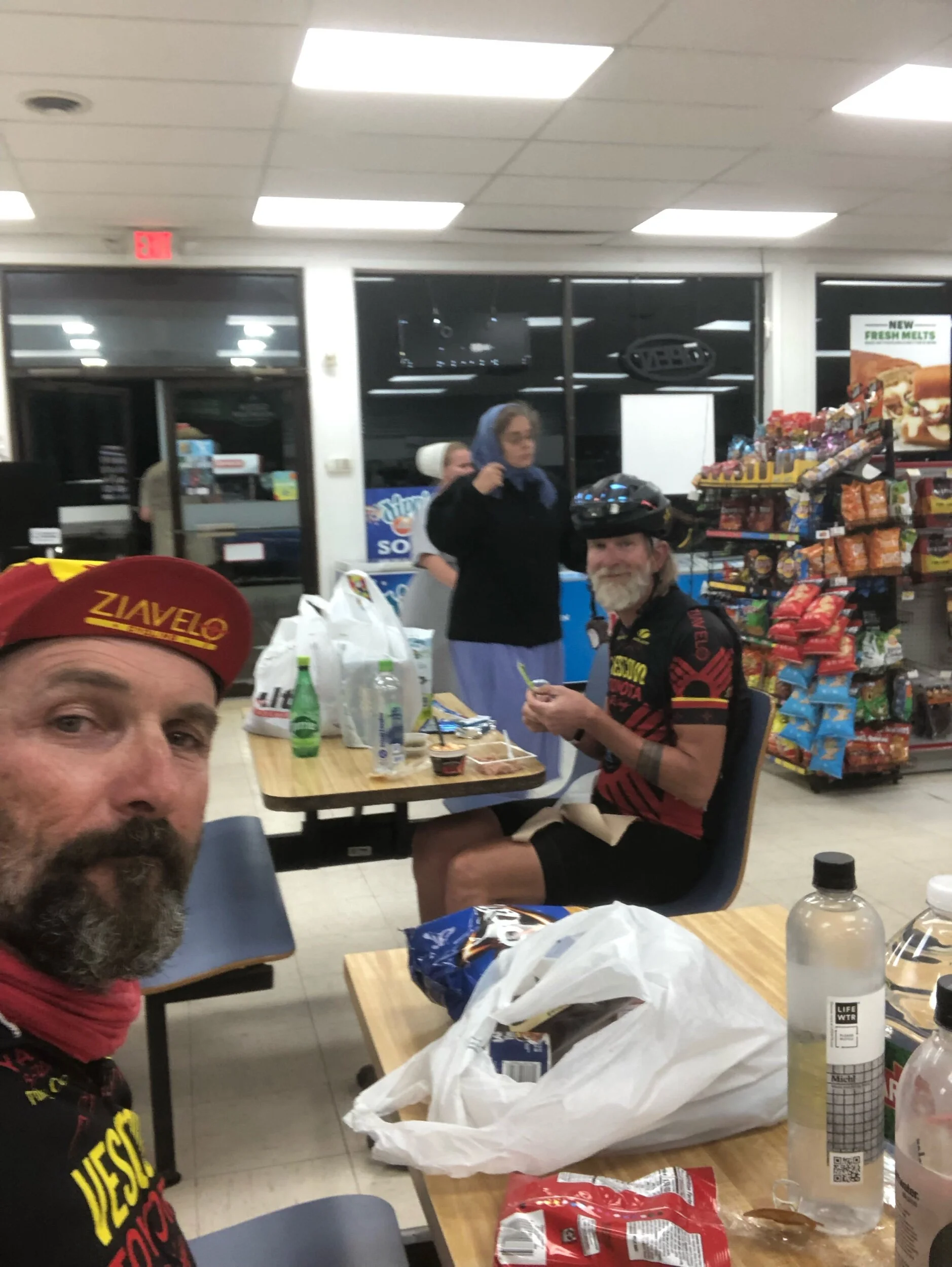
We jumped back on our bikes and rolled down the same dark road we had just arrived on. A quick right into Del Norte proper and we found the ONLY thing open. A convenience store.
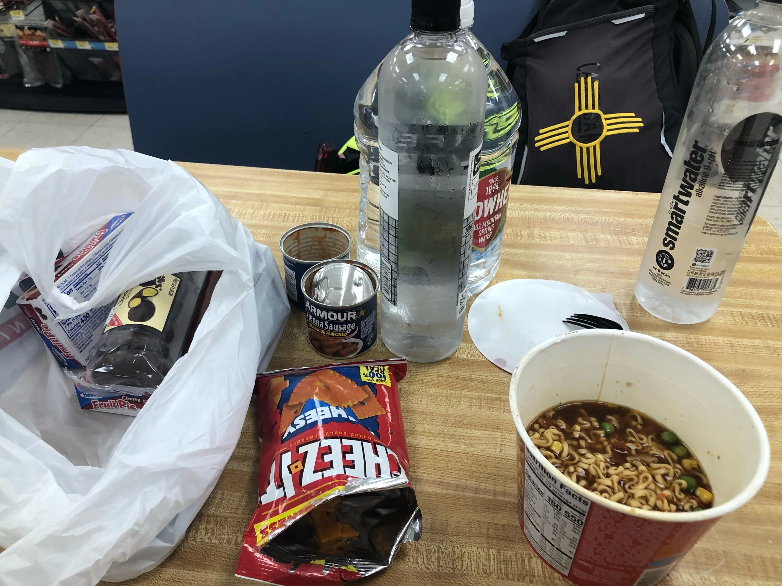
As we pulled up, parked our rides and rolled in, we me the worker inside who was mopping the floor of the empty store. As we picked out our dinner for the night, we must have been quite a sight! Vienna Sausages, Ramen, chips, tuna, etc. and …WATER!! Lot of WATER!! Unfortunately the Subway in the store was closed, but the nice worker allowed us to sit at the two tables inside and eat our dinner away from the mosquitoes. We looked like two hobos, scarfing down our food and getting more! After a bit, the store became packed!! Apparently a fireworks display in a small nearby town had concluded and everybody at the show came into the store. We got plenty of interesting looks from the locals, a mix of cowboys, high school aged kids, families, and Amish (I think) ladies.
Finally, we finished and slowly made our way back to the now sleeping TD tenters. I say sleeping, except that they probably weren’t because there were fireworks going off everywhere around the RV park, originating from the local homes nearby. An interesting place to camp.
It didn’t take long to hit the hay in anticipation of our challenge for tomorrow. Indiana Pass and the highest point on the Tour Divide.
We’re South bound and down!
Shane and Ray